
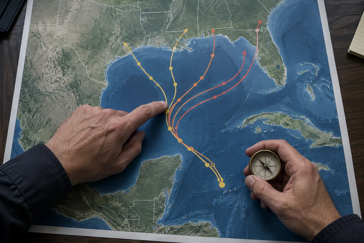
Forecasters are watching a system in the Gulf, and a lot of people are searching for a hurricane tracker right now. By the end of this guide, you'll be able to open a tracker, read the maps without getting misled by the squiggly lines, and know what to check next.
What's happening in the Gulf
The Weather Channel reports that Tropical Storm Isaias could form in the Gulf later this week. WESH reports that the National Hurricane Center (NHC) says a tropical depression could form there this week, and its coverage references spaghetti models and Florida. USA Today reports that hurricane forecasters are tracking the system and asks whether it will affect the US.
Notice the wording: "could form." Nothing here is settled. Where it goes, how strong it gets and whether it reaches land are open questions, which is exactly why knowing how to read the tools matters.
Start with the official source
The NHC is the agency actually issuing the forecasts that news outlets cite. When headlines conflict, go to its tracking pages first. Weather sites and local TV stations are useful for translation, but they are summarizing the same underlying guidance.
A practical habit: check the NHC's updates a few times a day rather than refreshing social media. Forecasts change as new data arrives, so the newest update beats anything screenshotted yesterday.
How to read a spaghetti plot
When you see a map covered in colorful lines, you're looking at a spaghetti plot. Each line is a different computer model's projection of the storm's path. Here's how to use one.
Look at the clustering, not any single line
If the lines bunch together, the models broadly agree. If they fan out across the Gulf, there's real uncertainty. A single dramatic line pointing at your town is one model's guess, not a prediction.
Remember early plots track an "invest," not a storm
WESH's article URL references "invest-92l," the label forecasters use for a disturbance they're monitoring before it becomes a named system. Early-stage plots like these tend to be loosest, since the storm may not have a defined center yet. Expect the lines to shift.
Don't read the line as the storm's size
A path line shows where the center might go, not how wide the impacts are. Rain, wind and surge can reach well beyond the line. Being off the line doesn't mean being safe.
Know the stages
The language in coverage follows a ladder. A disturbance can become a tropical depression, and if it strengthens, a named tropical storm. Isaias is the name that would be given if this system reaches that point. Reports say that is a possibility, not a fact yet.
What to do while it's uncertain
You don't need to panic, and you shouldn't wait for certainty either. Reasonable steps for anyone in or near the Gulf region, or with travel plans there:
- Check your location against the whole forecast area, not just the center line.
- Review your supplies such as water, medications, phone chargers and important documents, so you aren't shopping at the last minute.
- Look at travel flexibility. If you're flying or driving through the Gulf this week, check your airline or hotel's change policies now.
- Know your local alert source, such as your county emergency management or local National Weather Service office.
Spot a reliable forecast story
Good coverage attributes its claims to the NHC, uses hedged language when the system hasn't formed, and shows more than one model. Be wary of posts that show one model run with a landfall point and no context. The headlines above are a fair example of careful framing: "could form," "will it impact the US?" They ask the question instead of claiming the answer.
The one habit that matters
Bookmark the NHC's tracking page today, and check it for updates rather than trusting any single map you see shared online.